





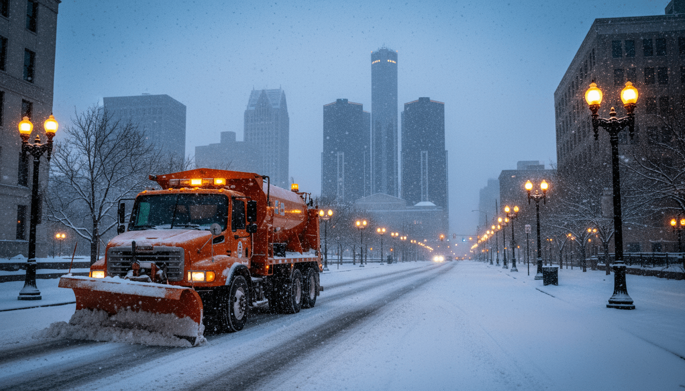
Residents across Southeast Michigan are bracing for a significant shift in weather conditions as a low-pressure system tracks toward the Great Lakes region. The National Weather Service (NWS) office in White Lake has officially issued a Winter Storm Watch for several counties in the area, signaling the potential for hazardous travel conditions, heavy snowfall, and gusty winds starting late Tuesday evening.
The alert covers a swath of the region, specifically targeting the northern suburbs of Metro Detroit and the Thumb region, including Lapeer, Sanilac, and St. Clair counties, though advisory-level snow is expected to impact Wayne, Oakland, and Macomb counties as well. As the system develops, meteorologists warn that the morning commute on Wednesday could be severely impacted by rapidly changing visibility and slick road surfaces.
Understanding the Winter Storm Watch
According to the latest forecast discussion from the NWS Detroit/Pontiac office, the incoming system is expected to bring a mix of precipitation that will transition quickly to snow as temperatures drop. A Winter Storm Watch is issued when there is a potential for significant snow, sleet, or ice accumulations that may impact travel. It serves as a precursor to a warning, urging residents to stay alert for forecast updates.
Current models suggest snowfall totals could range between 4 to 7 inches in the watch areas, with localized higher amounts possible if snow bands stall over specific corridors. Winds are also a concern, with gusts predicted to reach up to 30 mph, potentially causing blowing snow and reduced visibility on highways such as I-75 and I-69.
“Confidence is increasing regarding a band of heavy wet snow tracking across the northern Metro region,” the NWS stated in their afternoon forecast discussion. “Rates of 1 inch per hour are possible during the height of the storm, which will make keeping roads clear a challenge for crews.”
Potential Impact on Detroit Commutes and Infrastructure
For Detroit residents and commuters, the timing of this winter event is critical. While the heaviest accumulation is currently projected slightly north of the city center, the ripple effects on transportation will be felt throughout the metro area. The Detroit transportation network is notoriously sensitive to sudden freeze-thaw cycles, and this storm brings the risk of flash freezing on untreated bridges and overpasses.
The Michigan Department of Transportation (MDOT) has advised drivers to delay travel if possible once the storm begins. In a general advisory regarding winter travel, MDOT officials emphasized that “drivers must remember that posted speed limits are for ideal conditions, not for snow-covered roads. Please give plow operators plenty of room to work—don’t crowd the plow.”
Within the city limits, the Department of Public Works is preparing its fleet of salt trucks. Priority will be given to major thoroughfares and bus routes to ensure that emergency services and public transit can continue to operate. Residents concerned about side street clearing can track the city’s progress through the Detroit neighborhoods service tracker, which provides updates on plowing schedules during major snow events.
Preparing for Power Outages and Emergencies
With heavy, wet snow and gusty winds in the forecast, the risk of power outages is a concern for many Detroiters. DTE Energy often mobilizes field crews ahead of such events to respond quickly to downed lines. The weight of the snow on tree limbs, combined with wind gusts, creates a scenario where localized outages are probable.
Local safety experts recommend that residents take this Winter Storm Watch seriously by preparing an emergency kit. Essential items include:
- Flashlights and extra batteries
- Portable chargers for mobile devices
- Non-perishable food and water
- Extra blankets and warm clothing
“We always see an uptick in calls during the first few major storms of the season,” said a representative from a local emergency response organization. “Preparation is key. Ensure your vehicle has a full tank of gas and that you have an emergency kit in your car if you absolutely must travel.”
Historical Context and Data
While Detroit is no stranger to winter weather, data from the National Weather Service Detroit/Pontiac indicates that snowfall patterns have been increasingly erratic in recent years. Historical averages for this time of year typically show lighter, more frequent snow events rather than the heavy, concentrated dumps associated with this type of low-pressure system.
Last winter, Southeast Michigan experienced a milder-than-average season with significantly less total accumulation compared to the decade prior. However, meteorologists note that a milder overall winter does not preclude the possibility of intense, isolated storm systems. This unpredictability makes it harder for municipalities to budget for salt and overtime hours effectively.
According to the National Oceanic and Atmospheric Administration (NOAA), water temperatures in the Great Lakes are currently running slightly above average, which can contribute to “lake enhancement” of snow totals as systems move over the water, potentially boosting the accumulation for areas east of Detroit.
What Happens Next
As the system approaches, the NWS will likely upgrade the Winter Storm Watch to a Winter Storm Warning or a Winter Weather Advisory, depending on the track of the low-pressure center. If the track shifts south, Detroit proper and Downriver communities could see higher totals than currently predicted.
School districts across Southeast Michigan will be monitoring the situation closely Tuesday evening. Parents are advised to check local listings early Wednesday morning, as hazardous road conditions may force delays or closures. Local businesses are also bracing for the impact, with many anticipating a slower day as residents choose to stay off the roads.
DetroitCityNews.com will continue to monitor the storm’s path and provide updates on snowfall totals and road conditions as they become available.