




Residents across Metro Detroit are preparing for a significant shift in weather patterns this week as the National Weather Service (NWS) Detroit/Pontiac office has issued updated guidance regarding an incoming winter system. The latest snow forecast Detroit residents are waking up to indicates a high probability of accumulating snowfall, potentially impacting the morning commute and local school schedules over the coming days.
According to meteorologists, a low-pressure system moving in from the Plains is expected to collide with colder air currently sitting over the Great Lakes region. This convergence creates the perfect conditions for a prolonged period of precipitation, starting as a wintry mix before transitioning to all snow. Local officials are urging caution as road conditions are expected to deteriorate rapidly once the temperature drops below freezing.
Updated Snow Forecast: Timing and Totals
The updated timeline suggests that precipitation will begin late evening, initially manifesting as rain or sleet for areas south of I-94. However, as the night progresses, the transition to snow is expected to encompass the entire metro area, including Wayne, Oakland, and Macomb counties.
Data from the National Weather Service projects snowfall totals ranging between 4 to 7 inches for the immediate Detroit area, with locally higher amounts possible in the northern suburbs. The heaviest snowfall rates are anticipated between 4:00 AM and 9:00 AM, coincidentally aligning with the peak rush hour traffic.
“The primary concern with this system is the rate of snowfall,” stated a representative from the NWS Detroit/Pontiac office during a morning briefing. “We could see rates of one inch per hour during the pre-dawn hours, which will significantly reduce visibility and make it difficult for road crews to keep paved surfaces clear immediately.”
Impact on Detroit Residents and Commuters
For the thousands of commuters traveling into downtown Detroit, this forecast necessitates early planning. The Michigan Department of Transportation (MDOT) has announced that maintenance crews will be deployed aggressively to pre-treat major freeways, including I-75, I-96, and the Lodge Freeway. However, officials warn that salt becomes less effective if snowfall rates exceed the plowing capacity.
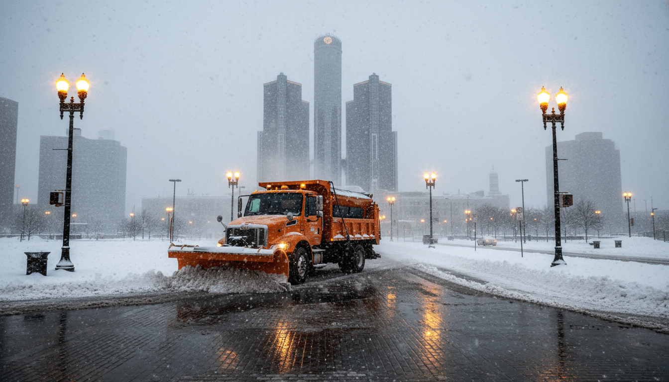
In addition to highway travel, surface streets within the city limits are a major focus. The Detroit Department of Public Works (DPW) is mobilizing its fleet of snowplows to address Level 1 and Level 2 thoroughfares. Residential streets, usually plowed after major arteries are cleared, may remain snow-covered for a longer duration depending on the storm’s duration.
This weather event also raises questions regarding Detroit transportation and infrastructure resilience. DDOT bus riders should anticipate delays, as buses navigate the same difficult conditions as passenger vehicles. The People Mover and QLINE are expected to operate, though service adjustments are possible if ice accumulation affects the power lines or tracks.
Schools and Local Closures
With the bulk of the accumulation expected in the early morning, many parents are awaiting decisions regarding school closures. The Detroit Public Schools Community District (DPSCD) and suburban districts typically make determination calls by 5:00 AM. Factors influencing these decisions include not just snow depth, but wind chill values and the ability of buses to safely navigate neighborhood streets.
Local businesses in the Midtown and Corktown areas are also adjusting. Several restaurant owners expressed that while winter weather is expected in Michigan, the timing of this storm could impact dinner service and lunch rushes. “We play it by ear,” said a local business owner in Eastern Market. “If the roads are bad, we prioritize the safety of our staff and might open late.”
Safety Measures and Warming Centers
Beyond the inconvenience of travel, the plunging temperatures pose a safety risk to vulnerable populations. The City of Detroit has activated its protocol for extreme weather, ensuring that recreation centers and libraries serve as respite locations for those needing to escape the cold.
Local nonprofits and city officials are coordinating outreach to ensure homeless residents have access to local warming centers and shelters. Residents are encouraged to check on elderly neighbors and ensure that pets are brought indoors.
DTE Energy is also monitoring the situation. While this particular snow forecast for Detroit predicts a drier, fluffier snow—which is generally less damaging to power lines than heavy, wet snow—gusty winds could still cause scattered outages. DTE has stated that line crews are on standby to respond to any service interruptions.
Driving Tips from State Police
The Michigan State Police (MSP) offered several reminders for those who must travel during the warning period:
- Slow Down: Speed limits are set for dry conditions. In snow, drivers should reduce speed significantly.
- Increase Following Distance: Leave at least six to eight car lengths between your vehicle and the one in front of you.
- Clear Your Vehicle: It is legally required to remove snow from the entire vehicle, including the roof, windows, and lights, before driving.
- Move Over: Give plows and emergency vehicles ample room to work.
Looking Ahead: The Weekly Outlook
Following this system, the snow forecast Detroit residents face for the remainder of the week suggests a drop in temperature but a return to drier conditions. Arctic air is expected to settle into the region, keeping highs in the 20s. This deep freeze means that whatever snow falls during this current storm will likely stick around for several days, compacting into ice on untreated surfaces.
Meteorologists indicate that another, smaller clipper system could brush the area by the weekend, though accumulation estimates for that event are currently low. Residents are advised to stay tuned to local broadcasts and the National Weather Service (NWS) Detroit/Pontiac for real-time updates as the system evolves.
As Detroit prepares for the first major accumulation of the period, the message from city officials is clear: plan ahead, drive slowly, and stay informed.